Exploring a hidden stretch of the Superior Hiking Trail (SHT) leading from Lutsen’s Poplar River along the backside of the Lutsen Mountain range has been on Eric’s bucket list for a few years. It’s about an 7 mile circuit along the Northern ridgeline, and given we’re not über trekkers, we were wishing for agreeable temps, little precipitation and few if any bugs! We finally tackled the adventure last month. Over the course of 3 hours, several granola bars and 100+ photos, we made it back to 142C. Given there were so many lovely vistas and souvenir snapshots, we’re dividing this adventure into two posts.

Starting off, the trail head is about a 10-minute walk from 142C, heading toward the Lutsen Mountain Ski Chalet and Gondola; you’ll follow the main road past Papa Charlie’s. Here’s our before photo!
If you’re driving, you’ll find parking and this sign at the trailhead:
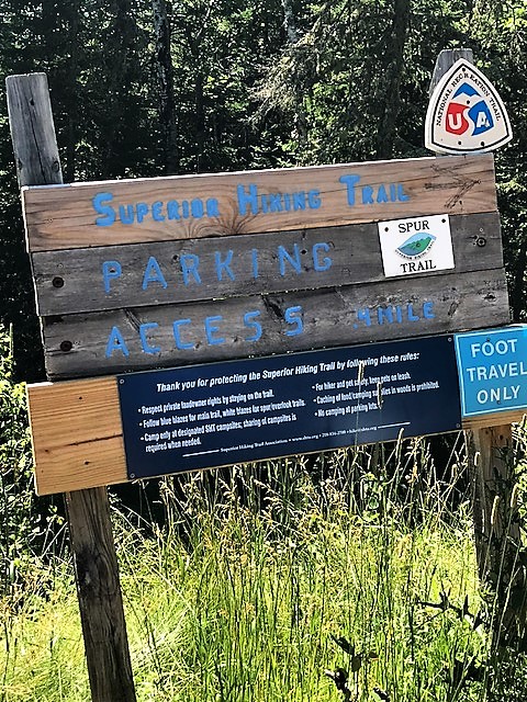
Here’s the description from the Superior Hiking Trail website:
Lutsen Mountains Recreation Area Trailhead: At Hwy. 61 milepost 90.1, turn left on Cook Co. Rd. 5 (Ski Hill Rd.) and go 2.9 miles to recreation area. Park in general parking areas or continue 0.3 miles up road past gondola and restaurant to small trailhead parking lot on left. Overnight parking okay in both areas. Bathroom, restaurant, drinking water at trailhead area.
As you enter the trail, you can choose to go right or left; we veered to the left, the path closer to the river. In less than five minutes, we arrived at the iconic Poplar River bridge located just over a cascade of water. We paused for a couple pics and a game of Pooh Sticks. This is our tradition: toss a stick off the bridge on the inland side of the river and then race to the other side of the bridge to see if you can spot the stick. It’s something we’ve done with the boys since they were little. We never see the stick; it never gets old.


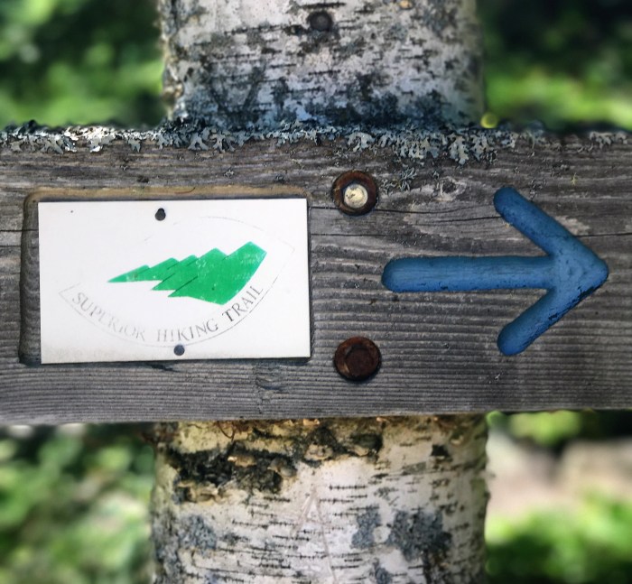
Across the bridge, you can take a right or left. We headed right so we could traverse the back side of the mountain. A little further along, we saw this directional sign. These markers with the SHT logo and blue vertical marks on the trees are key as you make your way.
According to the Superior Hiking Trail Association’s (SHTA) guidebook, this area of the trail was developed by the Forest Service and is one of the original stretches maintained by volunteers.


With map in hand, we were behind Mystery Mountain when we hit our first lookout. I’m not entirely sure of the exact location (directionally challenged!). But, as you come through the forest and experience this clearing, there really aren’t words to rightfully describe the panoramic Lake Superior vista.
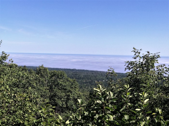
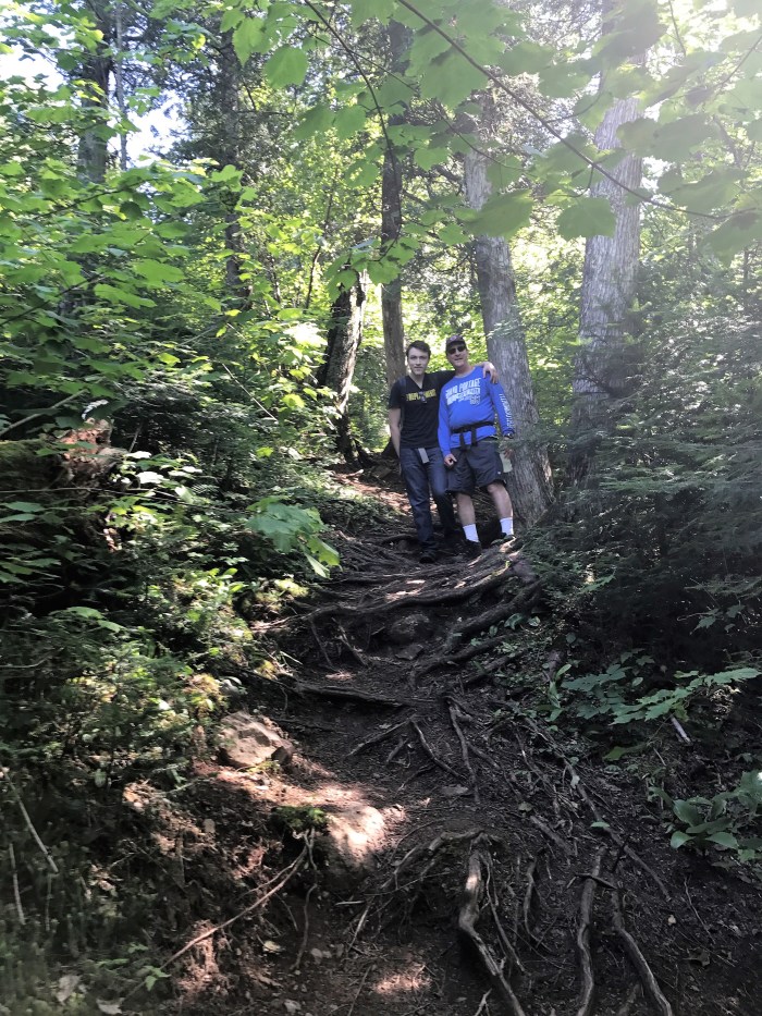
This was the perfect stop for granola bar #1 and a big swig of water. And, a photo opp!
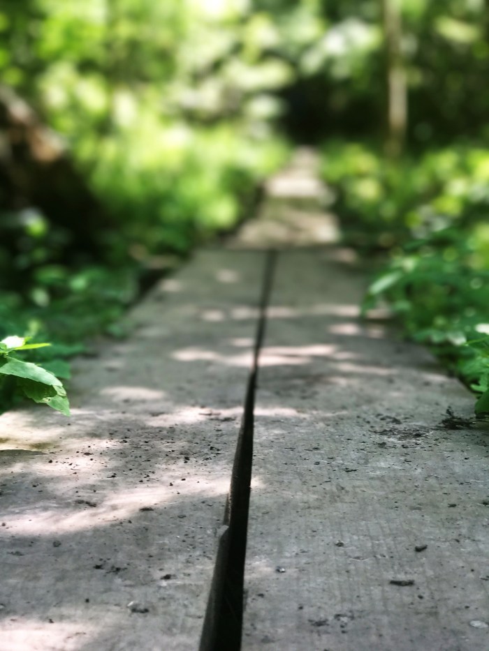
From here, the trail became a bit more steep and rugged. Make sure your hikers or kickers have decent grips! Stay tuned for Part 2! xo

One thought on “Hiking Poplar River –> Moose Mt.: Part 1”